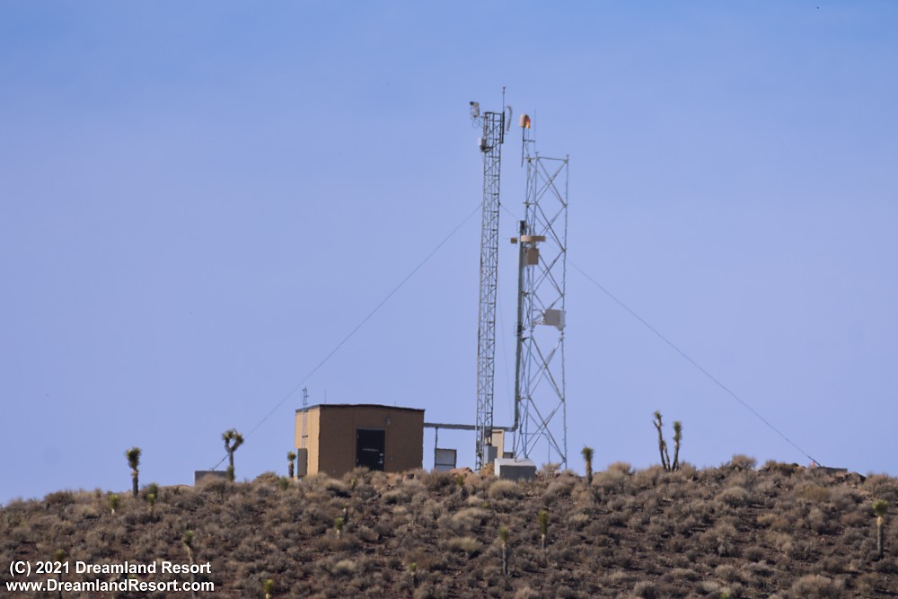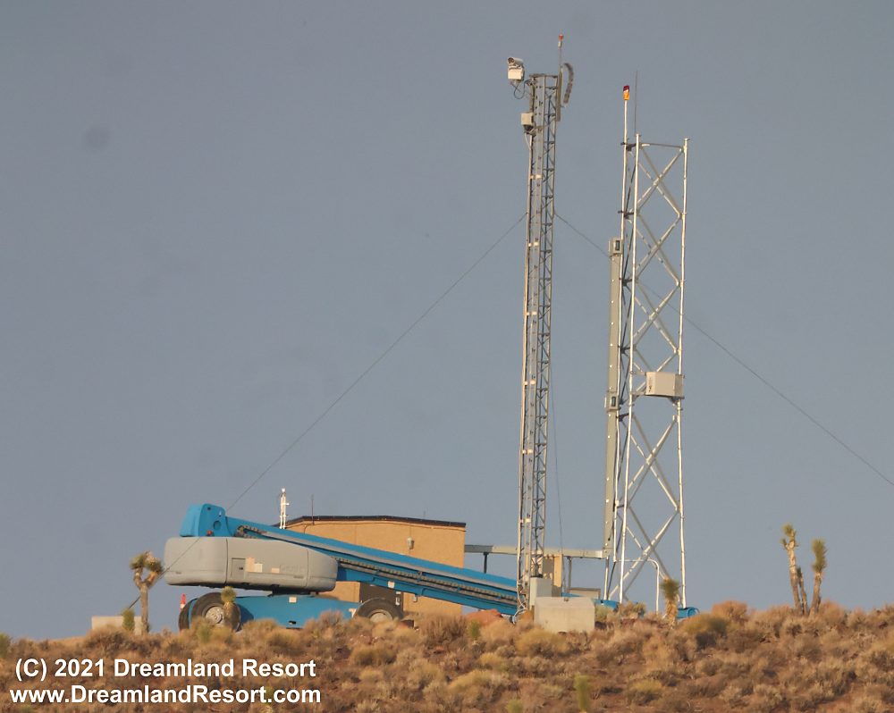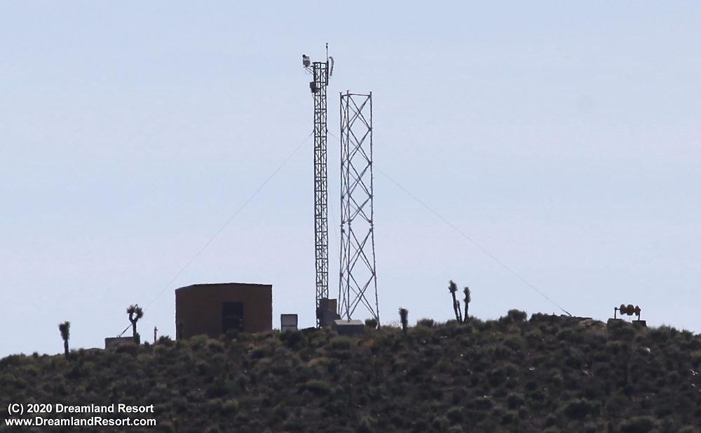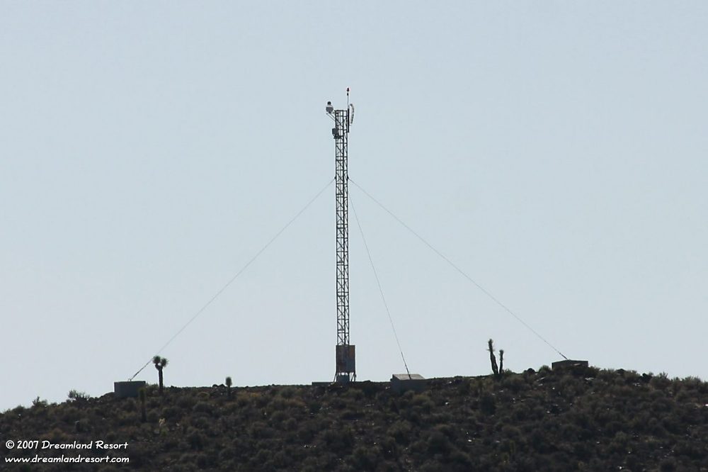
Between June 2005 and October 2006 a new camera tower was set up on a hill 0.2 miles south-east of the Groom Lake Road guard shack. The coordinates are 37°20.645'N / 115°39.425'W. The tower is only visible from a few locations on public land and was not discovered until late September 2007.
The remote controlled camera at the top has a clear view of the hills surrounding the Guard Shack including the former Area 51 view spot Freedom Ridge. It also covers parts of Groom Lake Road from a couple of miles outside the perimeter all the way back to Hwy 375. To the other side the camera also has a clear view of parts of Groom Lake and Area 51.
The camera on top of the tower is approximately 43ft. above ground, with a tube diameter of 7". The actual camera is mounted inside the outer tube. In our 2007 photo a red light is mounted to the pole at the top of the tower, 46ft. above ground. It can be seen from parts of Hwy 375 at night. In the 2020 photo the light has been removed. It was replaced in the July 2021 photo. The object below the light pole on the right of the original tower is a lightning protector.
A second tower with a small service building was constructed next to the original tower likely in early 2020. Due to its location and antenna configuration (see below) it is likely part of a new microwave intrusion detection system. A similar tower was constructed in late 2021 about a mile inside the Back Gate. The tower probably also serves as a high-speed data relay from Mount Irish to the guard shack and to mobile units in the area.
The July 2021 photo was taken while antennas were being installed on the new tower. A microwave antenna is already installed halfway up the tower. It points roughly in the direction of the Mount Irish communications relay site.
Our October 2021 photo shows that two more microwave antennas were installed near the upper outlet of the cable conduit. They look similar in design to other known 90 degree microwave intrusion sensors. There is also a new omni-directional microwave antenna at the top of the tower, near the red light. It probably provides high speed data to mobile units in the area.


