 |
 |
 |
I have been a huge fan of the A51 for many years now. A few years ago while in Las Vegas, I took a rental car and drove out to Rachel. After a quick bite, I headed for the black mail box and down Groom Lake Rd. I took a few pictures and headed back to Vegas. At the time I felt very happy with what I had gotten from the experience. It only took about a year before I found myself looking at Tikaboo Peak on Google Earth and thinking "If I really had to, I could climb that". After researching for a year and buying some supplies:
I headed back to Vegas.
One of the things that I had a hard time lining up was a 4x4 vehicle. I had plans to visit more places than Vegas and once I started my trip I was not going back to Vegas until it was time to fly home. I didn't want to spend over a grand on a Hummer H3 and get poor gas mileage. None of the rental car companies will guarantee a 4X4, they just tell you "Oh, no problem we have a ton of 4X4s at that location". Once we got to the rental car place, you can guess it, no 4X4s in the class that we were told to reserve to have a good chance of getting a 4X4. We had no choice but to upgrade and ended up with a Toyota Highlander, which was a nice little SUV. In addition, they also told us that company policy prohibits taking any of their vehicles not only off road but off of a paved road. Oh, Well...
My wife and I jumped into the Highlander and headed north. I entered every coordinate from the DLR website that had to do with Groom Lake Road and Tikaboo Peak into the handheld GPS. The first coordinate was the dirt road that leads to T Peak, then the gates, the 4x4 trail and every other coordinate that is on the web site. The coordinates were so helpful that we knew exactly where we were as we drove down the road and what was coming up next. I have to say my intention was only to drive a little way down the road, look around and test the brand new shotgun. The road was in very good condition and before I knew it we were at Badger Springs. After we checked out the first parking area, we decided to head to the Windmill Ridge.
We stayed in the sporting lodge and found it to be very clean and comfortable. We had dinner in the restaurant on site. While eating, I noticed three British soldiers were also eating there. I couldn't help but wonder what they were doing. They were very friendly with the staff and the staff to them. They left before we did so I asked our waitress what they were doing. She told me that they come to that area to train for desert combat. They go and hide and our troops go find them. OK, maybe... but they could also be working at a nearby top secret base. I figured if they had anything to do with the nearby base that's where they would stay. I could not help but think... hmm... "What if the living quarters at A51 are full or what if they didn't have top level security to see what goes on at night, similar to the employees that leave via Janet at the end of a work day?"
After dinner I wanted to drink a beer near Groom Lake Rd. and watch the skies. We actually started driving down GLR and ended up going all the way to the signs. It was a very weird feeling being next to the signs knowing some is just a few hundred feet away watching your every move, yet all you see is TOTAL darkness. I thought for sure we would see headlights, but there was nothing. I know they have all kinds of night vision and infrared equipment, but figured they would shine a few headlights around just to let you know you ain't out there by yourself. We only hung out for a few minutes and then headed back for some sleep.
We woke up around 6:00am the next day, got dressed, grabbed the gear and hit the road. I would say we arrived at the Tikaboo parking area around 7am. We put our backpacks on and off we went. My wife and I are from the southeastern region of the country and are use to having oxygen around, not to much of that around the Tikaboo peak region. I'll be honest, the hike up the trail was punishing. Using the coordinates from the website, we found the trail from the parking area to the false summit through the camping area and on to the peak. They were spot on and we found every location. I would say it took us about three hours to make it to the top. We found the worst part of the hike to be before you get to the false summit. It is a very steep grade with layers of small loose rocks. It was almost impossible to get a foot hold for support to climb.
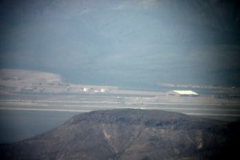
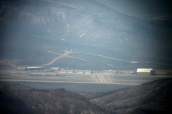
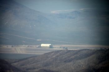
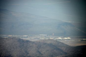
We made it to the summit a little after 10am. After setting the gear up and eating a quick snack we started to take pictures. As you can tell from looking at them, the picture didn't come out all that great. The haze was bad. I thought getting up there before noon would put us in a good position to get some good snaps. Also, it was very windy in the valley and it looked like a ton of sand was stirred up.
 |
 |
 |
 |
 |
Words can not describe the feeling once you step onto the peak. The peak is about the size of a one car garage. On your way up, you are walking around trees and there are natural wind noises. Once you step foot on the summit the sound the sound of silence is amazingly deafening.
After taking the pics we loaded up and headed down. I want to send a small warning; the trail down is easy to lose. Just aim for the large rock formation near the camp area called Saddle
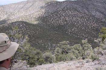
We took a pic from just below the false summit of the lower parking area. It's amazing how high you are.
 |
After spending the day on the peak, we headed to the Lil' Ale Inn for a bite. I had the most relaxing beer of the entire trip. They had the door propped open and the breeze was just right.
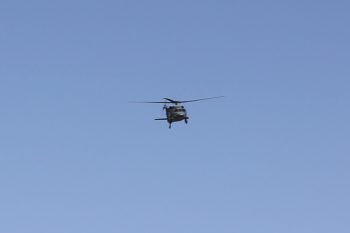
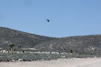
The next day out of town we headed down GLR for a last pic. This is when it got kind of cool. Just before the last turn towards the signs, a Pave Hawk popped over the top of the mountains and circled us twice. When the Pave Hawk first headed toward us I was driving and decided to stop. As he circled past us the first time, my wife and I traded positions in the car so I could take pictures. As I came around behind the SUV, the Pave Hawk came around for a second pass. I popped out from behind the SUV with the camera and I took as many pictures as I could. We all know they are there to intimidate and scare the hell out of you, when he saw me with the camera he immediately turned and headed over Freedom Ridge. I am sure he thought "Hell, I am just wasting gas on this idiot".
 |
 |
Last but not least...
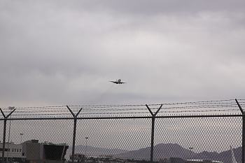
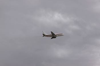
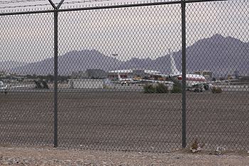
When I went back to Vegas to drop the SUV off and fly home. I poked around the Janet terminal. The wind had a punch; ATIS reported 210@16 gusting to 27. I spotted an aircraft coming in. He was landing on 19R with only about a 30 degree difference but the gusts were violent. I would say he was well under 100ft when he went for a plan B. The luck was on my side for that picture. I didn't know who I was taking a picture of until he was next to me and I could see the red stripe through the view finder. It was a Janet going around. We hung out until the Janet came back around and made it in. After watching the 737 unload, we decided it was time to pack up and head back to Atlanta. When we left my wife and I were stopped at a red light in a long of line of cars filled with the people that had just landed. I laughed and said "what a cool way to end this vacation, stuck in A51 rush hour traffic".
 |
 |
 |
I hate to make this long story longer but...
I thought I would add a few notes for anyone in my situation, living a long way from Area 51 and only having one shot at getting out to A51/Tikaboo.
You should definitely consider going up Tikaboo. You might have a difference experience than I but, when I climbed onto the peak and witnessed the base with my own eyes I got chills. It was a very nostalgic feeling. Rachel, the Mailbox and the GLR signs are cool when you first see them but, if you are a real A51 nut you will find the trip to the peak well worth the effort.
Get to the peak earlier than I did. I was in town in April and the sun came up around 6am. If you leave the Windmill Ridge at 5:30am you can be at the peak no later than 9am ish. If you're in good shape you might make it closer to 8am. The earlier the better as for taking photos. If you are staying in Vegas and it's no big deal to come back to the city, www.dreamcarrentals.com has a Jeep Wrangler that the rent for $89.00 per day. The road was in great condition when I went but I would highly advise taking a 4X4.
This website is spot on. Follow all of the advice for doing the trip safely. As I mentioned, one thing I would keep an eye on, is the trip from the peak to the camping area known as Saddle I lost the trail and was jacked up for about a half an hour. There is a large rock out cropping near the area where people camp, aim for that.
Take a GPS and a gallon of water per person.
If you are from the southeast consider dragging a scuba tank up the trail. Tikaboo provides plenty of views BUT NO AIR!!!
Cheers.