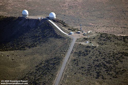
 These two radar domes on Black Mountain are visible in the distance from some places on US-95. Contrary to popular belief they are NOT part of the NTTR infrastructure but an extension of the Edwards Test Range (37° 16.998'N / 116° 38.765'W) |
 Another radar dome on a peak about a mile north of Tolicha Peak. This dome is part of the NTTR tracking network for mission aircraft (37° 17.084'N / 116° 48.756'W) |
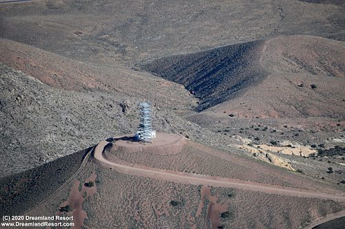 This microwave tower on a peak just east of Tolicha Peak is the main data relay from Nellis AFB into the NTTR. It connects Angel Peak and Cedar Peak. (37° 16.067'N / 116° 48.350'W) |
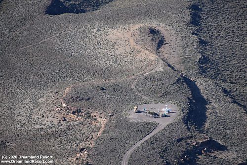 Mobile threat simulator site in the northern part of Area 20 (37° 19.466'N / 116° 29.667'W) |
 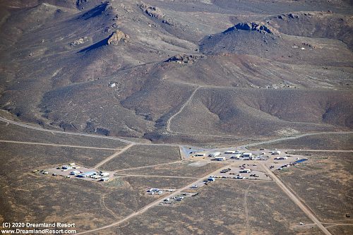 Site 1, the main operations base of TPECR. (37° 18.535'N / 116° 46.930'W) |
|
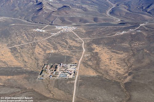  Material storage yard near the main base. Note the large number of vehicles stored here as practice targets (37° 19.746'N / 116° 46.973'W) |
|
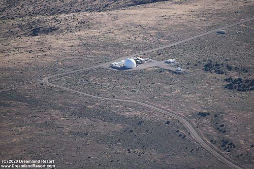 Another radar dome in the center of TPECR (37° 18.277'N / 116° 41.103'W) |
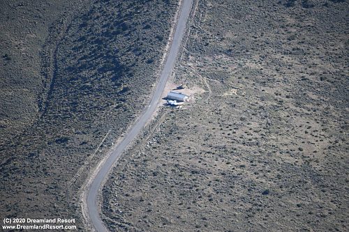 This building on the road to the Black Mountain radio site was originally the Det 3, 695 ESW Schoolhouse in the late 1980's. It was built by the Nellis "Red Horse" squadron. Here Det 3, 695 ESW taught the electronic combat crew training course (ECCTC), teaching Red Force communications and jamming operations. Training equipment included a Comfy Sword 1A communications disruption system and a AN/VLQ-5 mobile comm jammer set up near the building. Today the building appears to be used to host threat systems, possibly still in a training capacity (37° 17.301'N / 116° 38.534'W) |
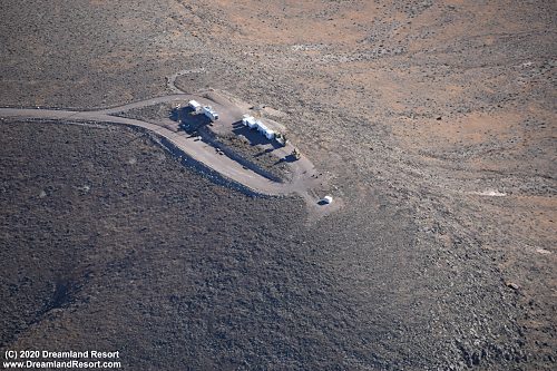 Threat simulator in the FAC Alpha range north of TPECR (37° 21.478'N / 116° 47.607'W) |
 Radio relay site near the center of TPECR (37° 18.895'N / 116° 41.130'W) |