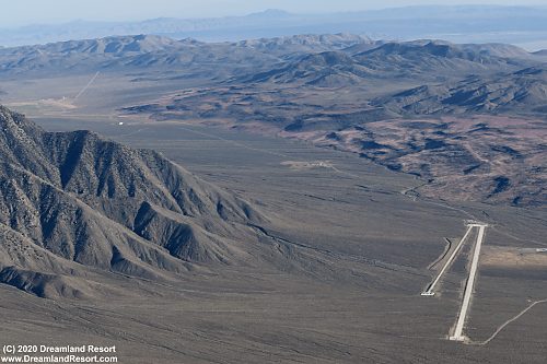
 Overview of all three ranges in Etcheron Valley, looking roughly SW. The JCIF Test Track is in the foreground. Following the road further south is the "wet range", the Junction Ranch and finally the original RCS range ( 36° 5.400'N / 117° 31.500'W) |
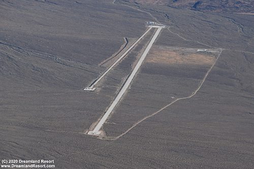 Close-up of the JCIF Test Track, built in early 2007 (36° 8.323'N / 117° 32.101'W) |
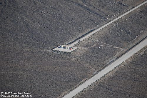 One of the two platforms at the end of the training tracks of the JCIF Test Facility (36° 8.538'N / 117° 31.955'W) |
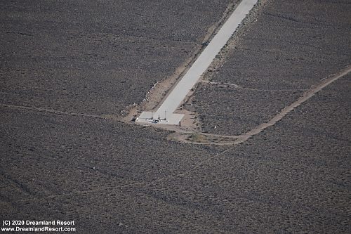 The other platform features what appears to be three mobile antenna or instrumentation towers sitting side by side (36° 9.084'N / 117° 31.936'W) |
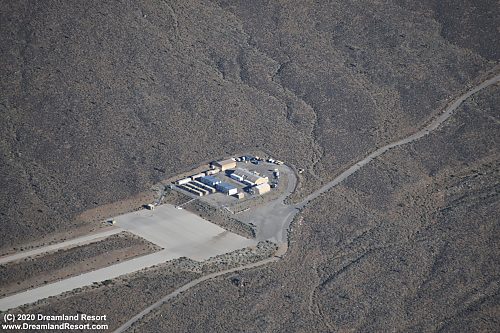 The base camp of the JCIF Test Facility at the other end of the test tracks (36° 7.489'N / 117° 32.332'W) |
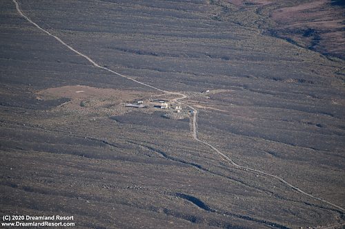 The "wet range"; it features a mount platform inside a 78x100ft. pond for measuring test article's radiation patterns on water (this is a NAVY range after all) and a large tilt table that allows exploring the radiation pattern from different angles of attack; the antennas are mounted on a nearby peak, looking down on the platforms (36° 6.278'N / 117° 31.847'W) |
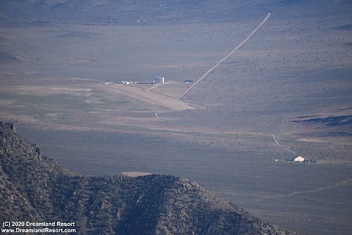 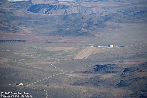 The original RCS range with the Junction Ranch in the foreground; the length of the range is just under a mile (36° 2.529'N / 117° 30.306'W) |
|
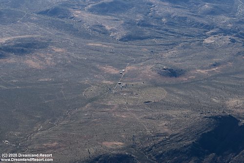 Practice targets in a valley just west of the RCS ranges (36° 9.282'N / 117° 37.590'W) |
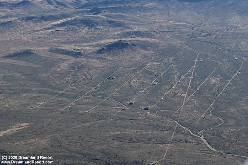 Array of threat simulators further south in the same valley (36° 7.469'N / 117° 38.087'W) |
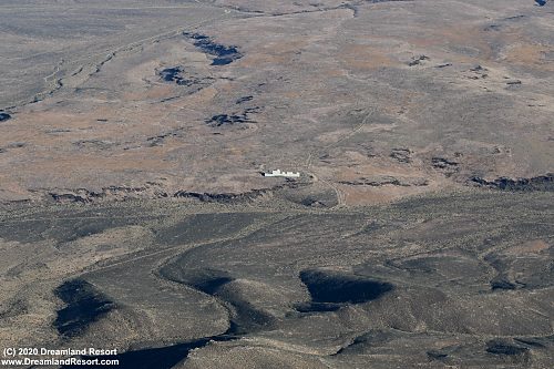 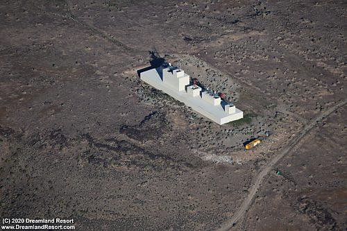 A ship in the desert? The Philadelphia Experiment gone wrong again? Actually it is a long building with various radar units on top on a ridge with a clear view of the airspace towards China Lake; the photo on the left faces roughly towards the base (36° 1.392'N / 117° 37.109'W) |
|