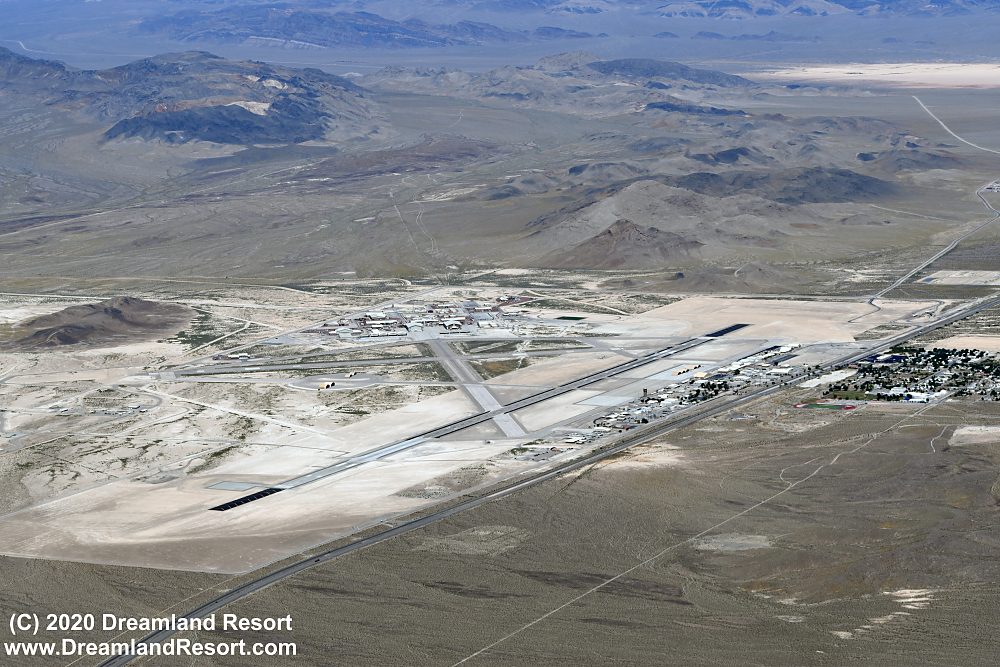
Aerial Photos of Creech Air Force Base, May 24, 2020
The aerial photos below were taken on Sunday, May 24, 2020 from a private aircraft flying in public airspace along the southern border of the Nevada Test and Training Range (NTTR). Publication on Dreamland Resort with friendly permission. Click in the photos to enlarge.
 Aerial photo of Creech AFB. The older part of the base from the time when it was still Indian Springs Air Field, is on the right, along US-95. After the base became a full US Air Force Base the new building complex on the far side of the runways was added. Creech AFB is mostly used for UAV operations. Many overseas UAV missions are flown remotely by pilots at Creech.
Part of the town of Indian Springs is visible in the far right of the photo. The highway separates the military base in the north from the town in the south.

Close-up of the new part of Creech AFB. The four towers at the bottom of the image are associated with UAV remote control.
Related Links:
Creech Air Force Base, Indian Springs, NV
Raw photos from the 05/24/2020 flight including Creech AFB, Area 51, Rachel, R-4807A and China Lake
© Copyright 1999-, Dreamland Resort. All rights reserved. Copyright Policy Privacy Policy Page last modified 05/22/2024


