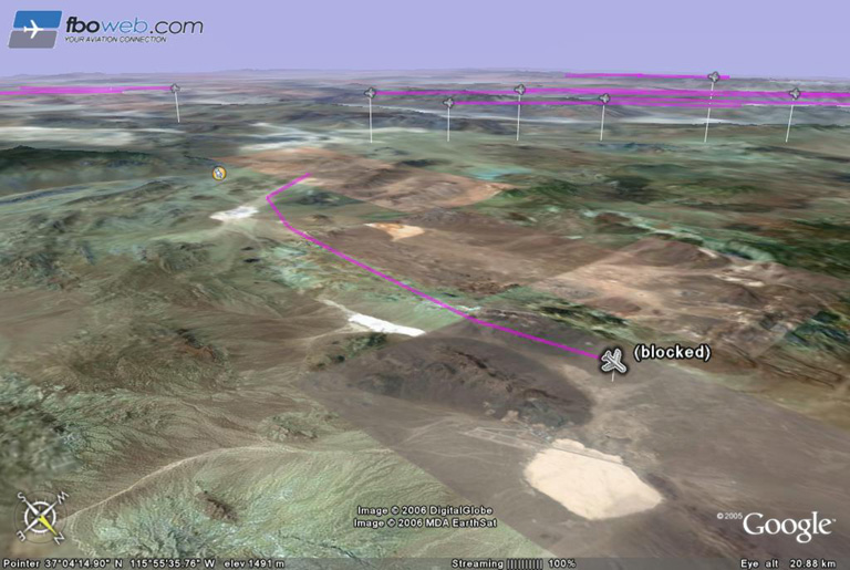
Message posted by Brian on March 20, 2006 at 21:48:34 PST:

I used FBOWeb to call up the air traffic within 50 miles of DRA and display it on Google Earth. The blocked Gulfstream II with a flight plan from IWA to DRA turned north and continued to be tracked nearly all the way to Groom Lake.
In Reply to: Re: n105tb posted by lone wolf on March 20, 2006 at 19:35:33 PST:
Replies: