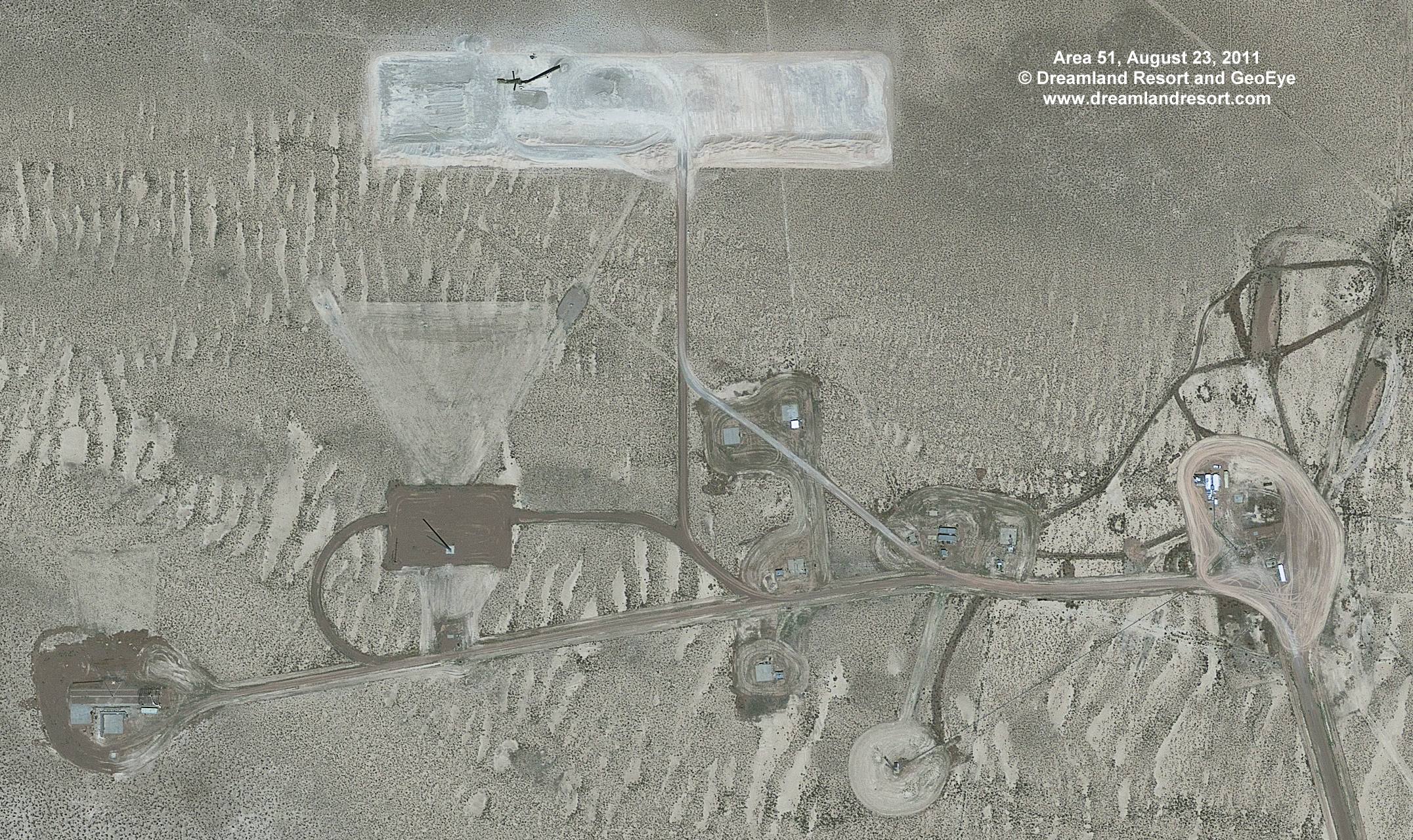

This remote site just north of the road from Area 51 to Gate 700 to the NTS was expanded around 2006. Not much is known about the purpose of the site. It may be a specialized RCS test site, or otherwise used for radio tests. There was not much evidence of activity here for a while, but our new satellite photo shows lots of fresh tracks at the eastern cell of this complex. There is also a newly developed area north of the existing site that appears to be a gravel pit. There are fresh tracks from the gravel pit to the cell in the east, but no further tracks on the only access road. The gravel pit appears to be designed to support a faily large construction project, so it can be expected to see the construction of a good size new facility around the exisiting site in the near future.
Satellite image taken by the GeoEye-1 satellite on Tuesday, August 23, 2011 at 11.23am PDT. © 2011 Dreamland Resort and GeoEye. Publication outside of the Dreamland Resort web site is strictly prohibited.